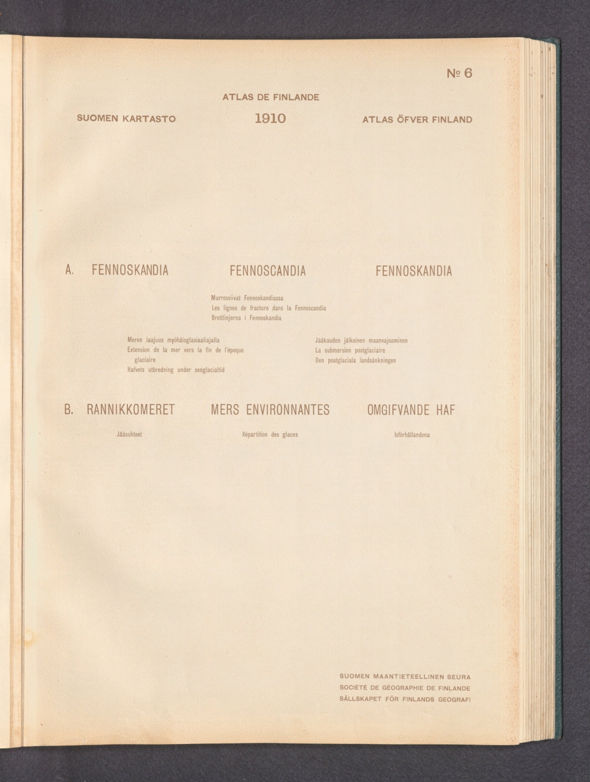
(Section Title Page to) No. 6, A. Fennoskandia : Murrosviivat Fennoskandiassa -- Meren laajuus myöhäisglasiaaliajalla -- Jääkauden jälkeinen maanvajoaminen = Fennoscandia : Les lignes de fracture dans la Fennoscandia -- Extension de la mer vers la fin de l'époque glaciaire -- La submersion postglaciaire = Fennoskandia : Brottlinjerna i Fennoskandia -- Hafvets utbredning under senglacialtid -- Den postglaciala landsänkningen. -- B. Rannikkomeret : Jääsuhteet = Mers environnantes : Répartiition des glaces = Omgifvande haf : Isförhållandena. Suomen Maantieteellinen Seura = Société de Géographie de Finlande = Sällskapet för Finlands geografi. ; Atlas öfver Finland, 1910. Sällskapet för Finlands geografi. ; Section Title: No. 6, A. Fennoskandia = Fennoscandia = Fennoskandia .
In: 14367.000; 14367.022; (1910)
Karte
Zugriff:
Section title page to maps numbered 6 of Atlas öfver Finland, 1910. Map titles translate to: A. Fennoscandia : Fault lines -- Extent of the sea towards the end of the Ice Age -- Fault lines in Fennoscandia -- Post-glacial flooding -- B. Coastal seas : Ice distribution. Text presented in parallel Finnish, French and Swedish. Followed by maps on subsequent plate. ; Atlas öfver Finland, by Sällskapet för Finlands geografi [Suomen Maantieteellinen Seura]; published in Helsinki, 1907. Title translates to: Atlas of Finland. Bound in dark green board with title and coat of arms for Finland on front cover, printed in white. Collation: 2° : [1-4], [I], II-III, [1], 2-7, [55] double leaves of plates. Volume comprised of a title page, editorial board list, preface, table of contents, statistical tables and 302 maps, as well as numerous charts. Maps topics include topography, geology, seismology, hydrology, climate, phytogeography, agriculture, zoology, statistics, economics, transportation, communication, linguistics, electoral politics, education and historical cartography. Maps also show cities, railways, roads, canals, bodies of water, drainage, coastlines and islands. Some maps employ data visualization to convey information, such as on light houses and the illumination they produce. For related item in collection - the first edition of the atlas, published in 1899 - see Pub List No. 14366.000. According to the preface, this edition was published because the 1899 edition "was so well received by the public in its own country and among the representatives of geographical science that continuing to work in the same direction appeared to the Society as an inalienable duty."
| Titel: |
(Section Title Page to) No. 6, A. Fennoskandia : Murrosviivat Fennoskandiassa -- Meren laajuus myöhäisglasiaaliajalla -- Jääkauden jälkeinen maanvajoaminen = Fennoscandia : Les lignes de fracture dans la Fennoscandia -- Extension de la mer vers la fin de l'époque glaciaire -- La submersion postglaciaire = Fennoskandia : Brottlinjerna i Fennoskandia -- Hafvets utbredning under senglacialtid -- Den postglaciala landsänkningen. -- B. Rannikkomeret : Jääsuhteet = Mers environnantes : Répartiition des glaces = Omgifvande haf : Isförhållandena. Suomen Maantieteellinen Seura = Société de Géographie de Finlande = Sällskapet för Finlands geografi. ; Atlas öfver Finland, 1910. Sällskapet för Finlands geografi. ; Section Title: No. 6, A. Fennoskandia = Fennoscandia = Fennoskandia .
|
|---|---|
| Autor/in / Beteiligte Person: | Suomen Maantieteellinen Seura |
| Link: | |
| Quelle: | 14367.000; 14367.022; (1910) |
| Veröffentlichung: | Aktiebolaget F. Tilgmanns bok- och stentryckeri ; Helsinki, 1910 |
| Medientyp: | Karte |
| Sonstiges: |
|